Solar eclipse maps from 1991 to 1995

In 1991, many eclipse observers saw The Big One, a magnificent long duration total solar eclipse on July 11, 1991 which was widely seen from Hawai’i, Baja California, Mexico, and parts of northern South America. While many on the beaches of the big island of Hawai’i were disappointed by uncharacteristic clouds, those in Baja California, near the point of greatest eclipse, saw a glorious eclipse with two large prominences.
This was my first total solar eclipse and I was hooked for life. I had recently acquired Fred Espenak’s Canon of Solar Eclipses and was amazed at the accuracy of his eclipse predictions. As my career in geography developed, I became increasingly interested in eclipse maps and started publishing my new eclipse maps.
After the total solar eclipse of 1991, two annular solar eclipses of January 4, 1992 and May 10, 1994 were widely observed across the United States. (Clouds frustrated my observation in 1992, but the view of the annulus in 1994 was an amazing otherworldly sight)

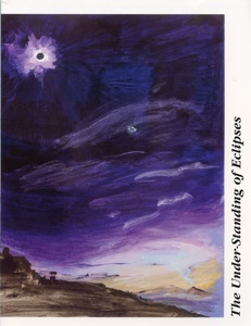
1991 also saw the first edition of The Under-Standing of Eclipses by Guy Ottewell. This remarkable book clearly explains the geometry of solar eclipses with Ottewell’s unique graphic style.
