Solar eclipse maps from 1941 to 1950
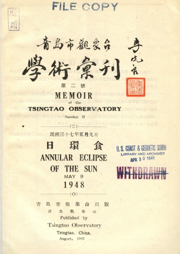
In the midst of revolutionary turmoil, the Tsingtao Observatory published this document containing tables and maps for the annular eclipse of May 9, 1948. The content of this bulletin is in both Chinese and English.
Although ancient Chinese manuscripts contain many of the very oldest records of solar eclipses, the development of Asian eclipse maps seems to have arrived only in the 20th century. Are there any Chinese or Asian eclipse maps that precede these maps?
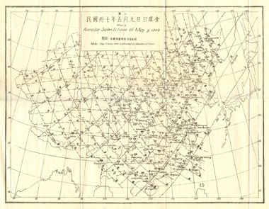
This Chinese eclipse map contains three sets of isolines; isomagnitudes for the eclipse and isochrons for the begin and end of the partial phases of the eclipse. The path of the annular eclipse can be seen sweeping across southeastern China and past Korea. An interesting feature of this map is that all three sets of isolines end abruptly at the Chinese frontier.
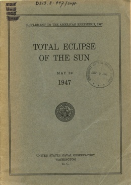
In advance of significant solar eclipses, the United States Naval Observatory has published supplements to the American Ephemeris and Nautical Almanac. These supplements contain additional details about the eclipse path along with over-size maps.
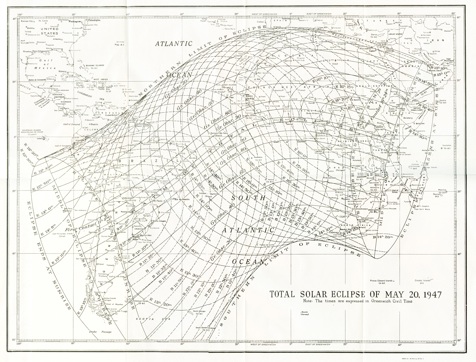
This map is one of the finest to appear in the series of eclipse supplements by the U.S. Naval Observatory. Considerable data about the eclipse extent are well drawn and labelled on this map. As a point of interest, this map contains the same three sets of isolines in the Chinese map above; isomagnitudes of eclipse as well as isochrons for begin and end of partial eclipse.
This memoir contains two maps for the 1948 eclipse. An overview map, shown to the left, and a detailed strip map of the path of totality. Both maps are found in the album below.
Sources
The maps from the American Ephemeris and Nautical Almanac from 1941 to 1950 are either scanned from the collection of Michael Zeiler or from holdings at the Federal Depository Library in Albuquerque, N.M. The maps from the French almanac Connaissance des Temps are from the collection of Michael Zeiler.
The eclipse map by Charles Smiley can be found at http://www.adsabs.harvard.edu/.
The maps from the Memoirs of the Tsingtao Observatory and the 1945 and 1947 Supplement to the American Ephemeris are from the collection of Michael Zeiler.


