The first true canon of solar eclipses was developed in 1816 by the Moravian astronomer Cassian Hallaschka. A summary of Hallaschka’s achievements appears in Historical Eclipses in Europe by Susanne Débarbat:
“One remarkable book - Elementa eclipsium ... - was published in Prague in the year 1816 by Franz Ignaz Cassian Hallaschka (1780 - 1847). It contained the maps for eclipses between 1816 and 1860 and was followed by a second volume with maps of eclipses until 1910 (Solc, 1999). The geometric constructions used by Hallaschka anticipated the standard theory of eclipses developed later by Friedrich Wilhelm Bessel. In the introductory chapter, most of contemporary European authors of eclipse calculations are listed - Du Sejour, Monteiro, Goudin, Delambre, Wolf, Mayer and other authors of eclipse papers like Euler, Lalande, T. Mayer, Lagrange, Lexell, Cagnoli, Gerstner, Kluegel and Bohnenberger. However, Hallaschka developed his own method determining the umbral size and position according to the work of Cl. Wurm and geometric projections on the Earth’s surface were based on the books by Lalande and Rüdinger.”
The Elementa Eclipsium gives both a new theory of eclipse calculation and a comprehensive series of eclipse maps that applies Hallaschka’s new theory of eclipses. It is a broad work -- covering a span of seven decades in all, written in Latin, and with orthographic projections of the entire path of eclipses -- but Elementa Eclipsium also has a parochial quality as manifested with these characteristics:
• Only solar eclipses in which Brno (a city in the present-day Czech Republic) lies within the region of partial eclipse (penumbra) appear in the Elementa Eclipsium.
• Figures of the eclipse’s appearance during maximum eclipse are given for the perspective of Brno.
-
•Eclipse timings are given for Brno.
The maps for both volumes of the Elementa Eclipsium are given below.
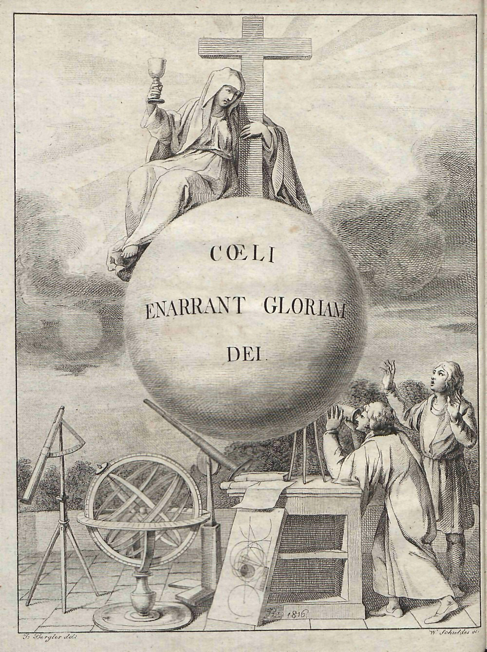
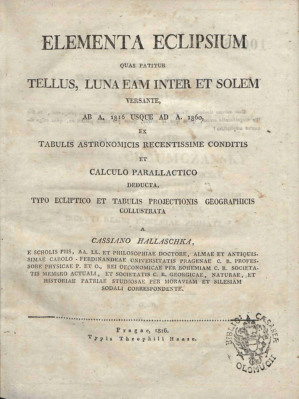
Title page and frontispiece of the first edition of the Elementa Eclipsium, 1816
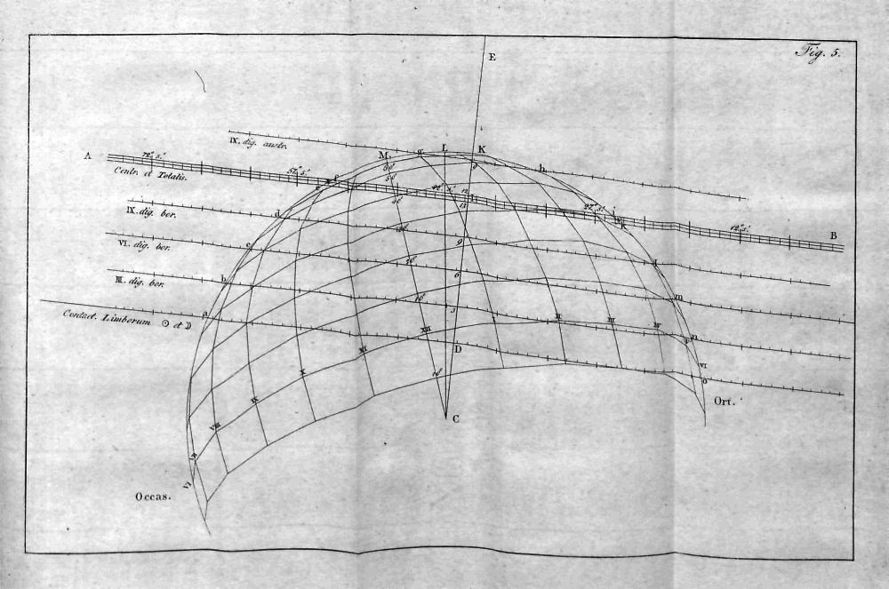
Conceptual illustration of eclipse theory within the Elementa Eclipsium.
Hallaschka computed the path of the umbra on the Earth using the plane perpendicular to the umbral cone of the eclipse, essentially the same concept later developed more fully by Bessel.
Sources
The research paper by Susanne Débarbat, Historical Eclipses in Europe was written in 1999 and can be found at several websites on the Internet, including http://adsabs.harvard.edu/full/1999CoSka..28..163D
The maps from the Elementa Eclipsium for eclipses from 1860 to 1900 are courtesy of Professor Jay Pasachoff who kindly lent me this book for scanning. The maps for eclipses from 1816 to 1858 are from my eclipse map collection.
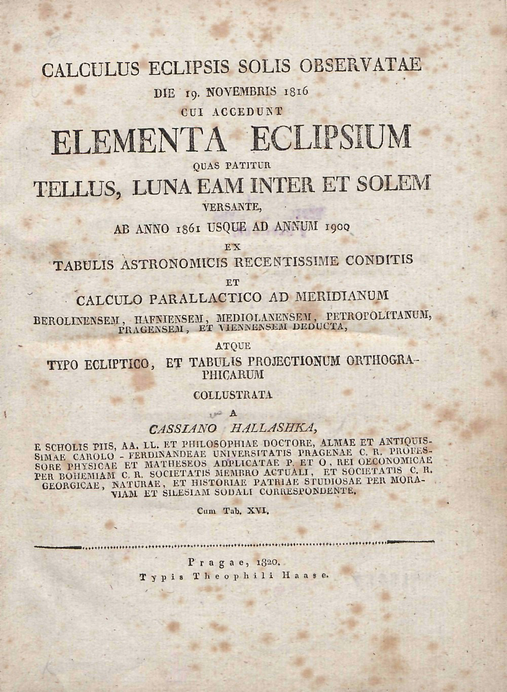
Title page of the second edition of the Elementa Eclipsium, 1820
The Elementa Eclipsium, 1816 and 1820
